Maitland Beach Port Elizabeth - Port Elizabeth
- Port Elizabeth
Contact The Beach Manager
- 041 506 1423
- bocctv@mandelametro.gov.za
Location
- Longitude: 25.288844
- Latitude: -33.985733
- Map
Rates Disclaimer
- Rates may vary and reduced rates may apply to additional persons. All rates are indicative only, may be seasonal and are subject to change without notice.
About Maitland Beach Port Elizabeth
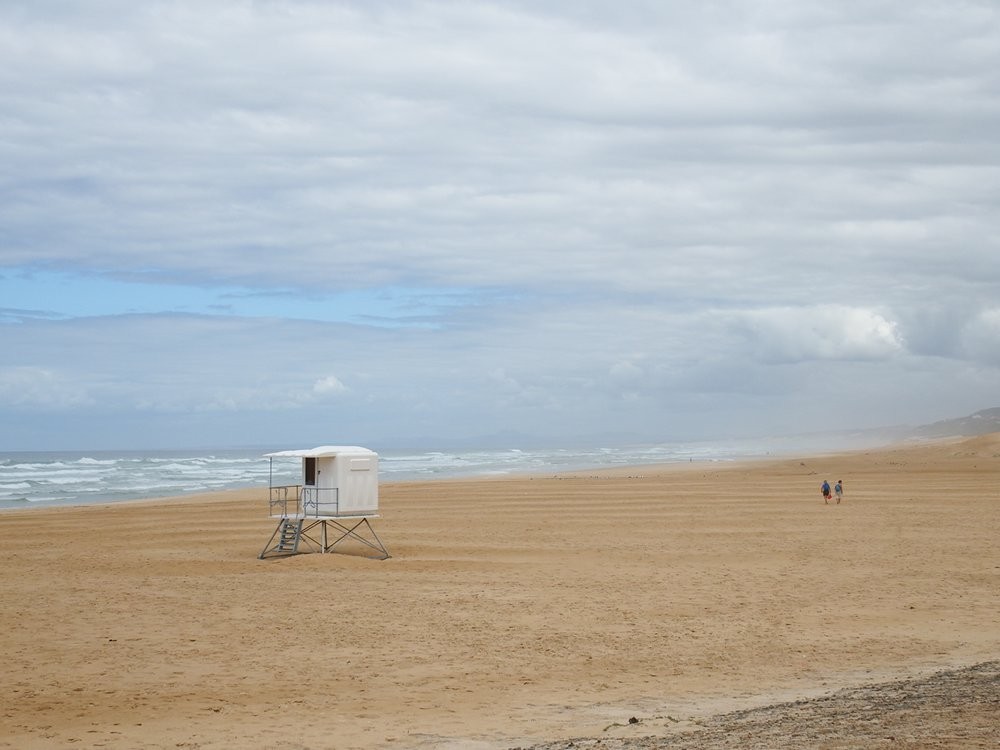
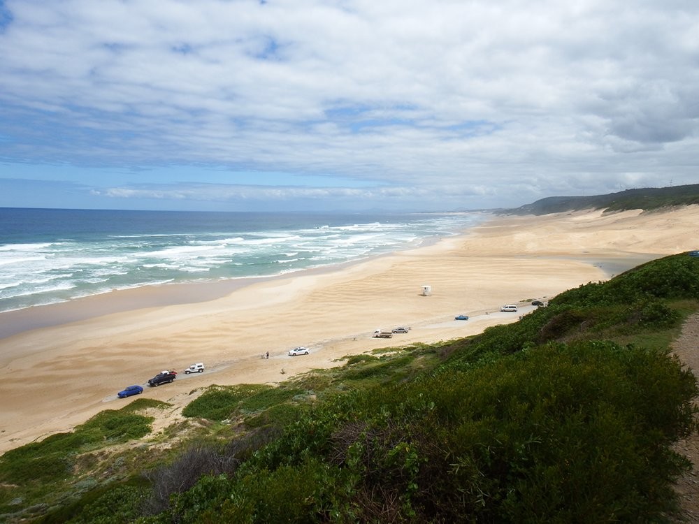


Maitland Beach is a huge beach in the outskirts of the Port Elizabeth metro with spectacular sand dunes, popular with sand boarders, and miles of sandy beach stretching away towards Jeffreys Bay. In the other direction the beach becomes rockier and is favoured by anglers and divers.
The beach borders on Maitland Nature Reserve which comprises 250 hectares of indigenous forest offering three marked hiking trails of varying lengths.
Map and Directions to Maitland Beach Port Elizabeth
GPS : 33° 59' 8.64" S / 25° 17' 19.84" E
Either take Buffelsfontein Road/Seaview Road to Seaview village, turn left into Elizabeth Road by the Spar and follow the road through Beachview village to where it turns inland;
Or take Kragga Kamma Road to the T-junction at Cow Corner, turn tight and then left into De Stades Road and follow this as far as the sea.