About Storms River - Tsitsikamma National Park
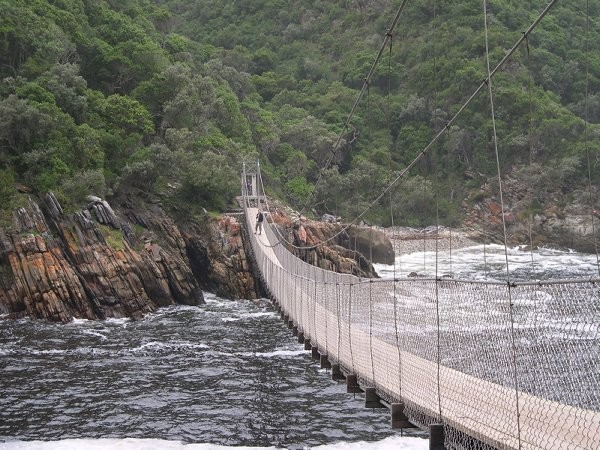
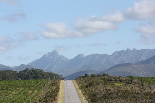
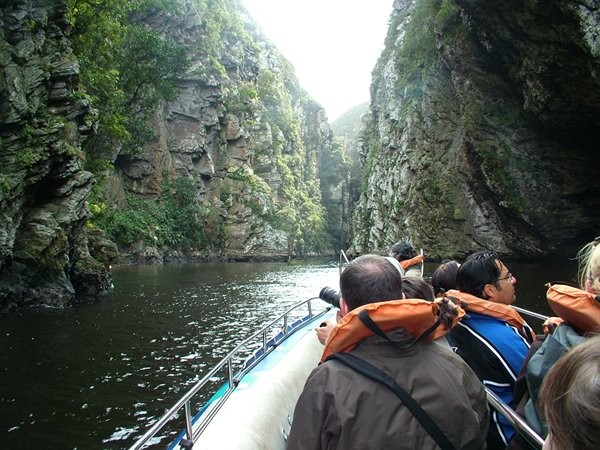
Stormsriver is located on the edge of the Tsitsikamma National Park. The Park is a protected area on the Garden Route, Western Cape and Eastern Cape, South Africa. It is a coastal reserve well known for its indigenous forests, dramatic coastline and the Otter Trail. It has been amalgamated with the Wilderness National Park and various other areas of land to form the Garden Route National Park.
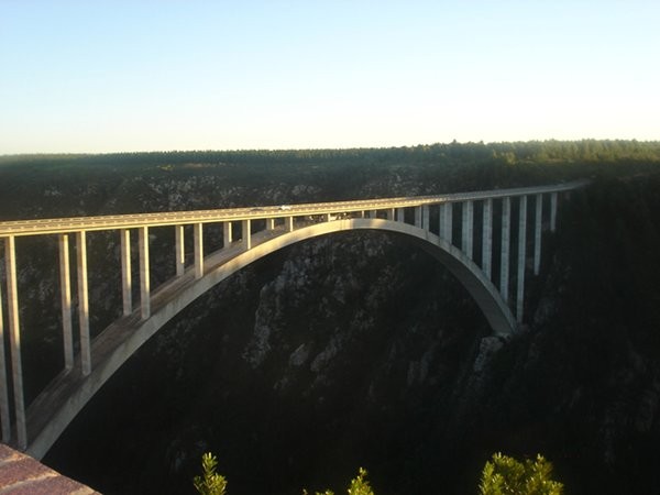
The park covers an 80 kilometre (50 miles) long stretch of coastline. Nature's Valley is at the western end of the park and the main accommodation is at Storms River Mouth. Near the park is the Bloukrans Bridge, the world's highest bungee jump at 216 metres (709 ft).
The word "Tsitsikamma" hails from the Khoekhoe language tse-tsesa, meaning "clear", and gami, meaning "water", probably referring to the clear water of the Tsitsikamma River. Other possible meanings are 'place of much water' and 'waters begin'.
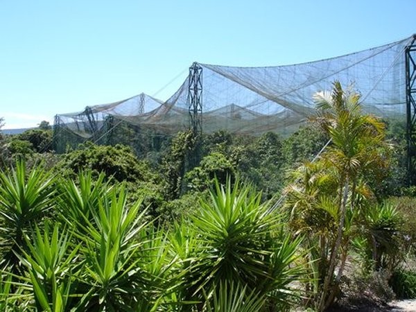
The area also hosts a number of meandering hiking trails, Tree Top Canopy Tours; Black Water Tubing; mountain biking and horse riding. Storms River Mouth – with its spectacular shoreline – is the start of the famous Otter Hiking Trail and is situated in the Tsitsikamma National Park. For an alternative experience, there is Tsitsikamma Mountain.